DEVELOPMENT · WEB / SAAS PLATFORM · MARKETPLACE / MULTIVENDOR · INTEGRATIONS AND APIS · DASHBOARD / DASHBOARD · POWER BI

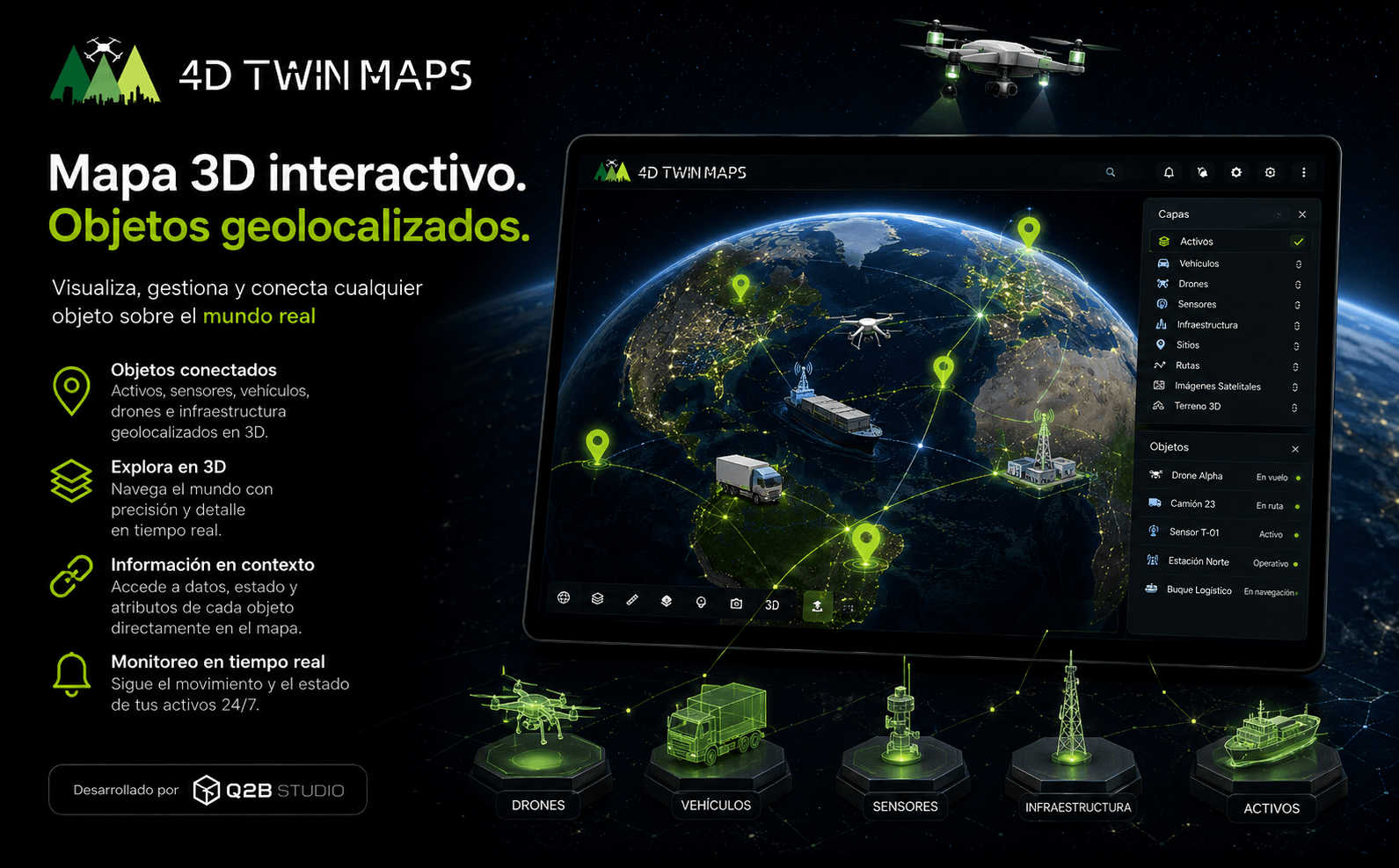
4DTWIN MAPS - Gestión geoespacial, telemetría y cartografía 3D en el mundo real.

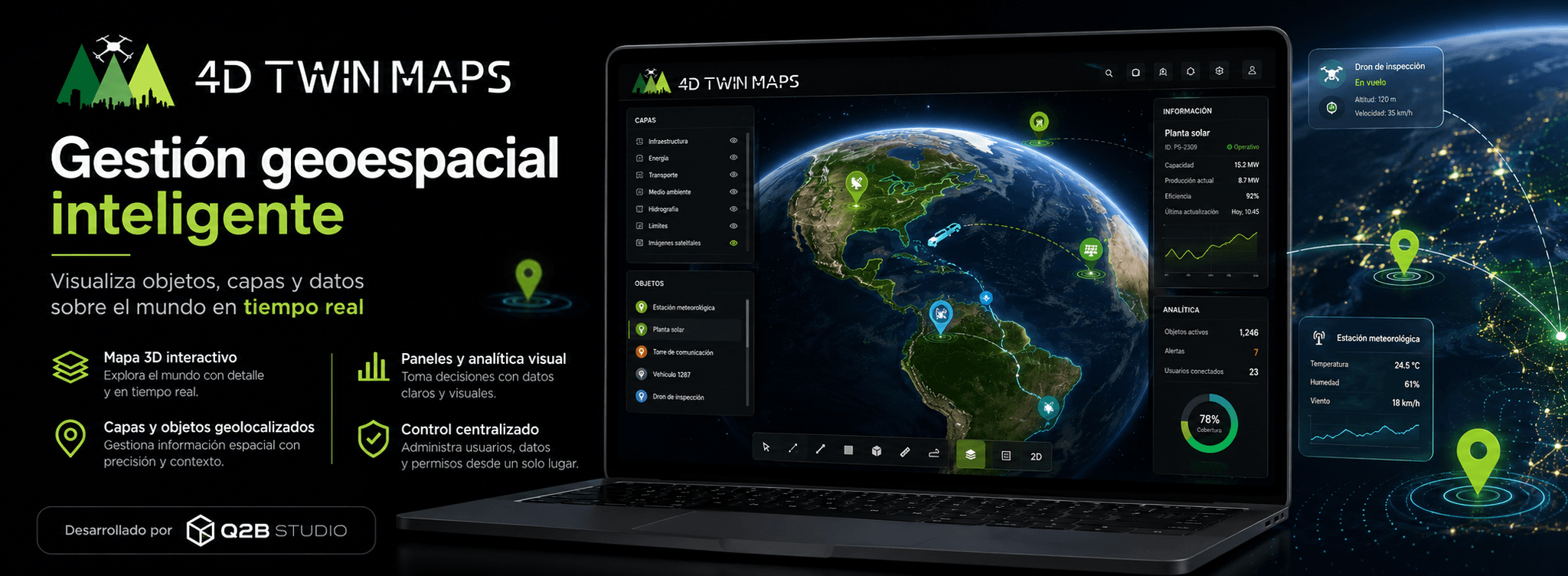
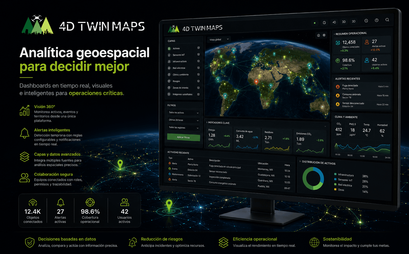
Geospatial web platform that allows transforming images captured with drones or mobile devices into 2D and 3D cartographic assets. Users can process, visualize, analyze, share, and market orthophotos, three-dimensional models, and point clouds from a centralized environment.

0:000:00

The challenge

Turning complex geospatial information into an accessible experience

The challenge was to build a platform capable of managing the complete cycle of a photogrammetric project: reception of images, processing of large volumes of information, generation of technical results and visualization on a 2D and 3D geospatial environment.

The application had to be useful both for users without advanced technical knowledge and for professionals who need to work with orthophotos, three-dimensional models and point clouds. It was also necessary to facilitate the downloading, preservation, publication, marketing and reuse of the results without depending on different external tools
The solution

An end-to-end platform for creating, visualizing, and sharing the 3D world

  • Centralized geospatial management.
  • Interactive 2D and 3D visualization.
  • Automated processing.
  • Accessible technical information.
  • Measurement tools.
  • Public or private sharing.
  • Commercialization of geospatial assets.
  • Accessible from anywhere.
  • Intuitive visual experience.
  • Scalability for new data.

KEY FEATURES

What the app can do

  • Creating photogrammetric projects

    The user can create a project, enter their information, add tags, and upload the images captured using drones or mobile devices. The platform organizes the files and automatically prepares the project for processing.

  • Image Processing

    The application manages the photogrammetric processing of uploaded images and generates different geospatial results. The user can check the status of the process and access all the assets produced from the project file

  • 2D Orthophoto Generation

    The images are transformed into high-resolution georeferenced orthophotos. The platform displays technical information such as the area covered, resolution, GPS error, and other data relevant to cartographic analysis.

  • Georeferenced 3D models

    Each project can generate three-dimensional models associated with a real location. These models are displayed directly on the globe and can be downloaded, shared, or incorporated into other professional environments.

  • 3D Point Clouds

    Professional users can view dense point clouds from the browser. The solution allows you to explore the results accurately and work with large volumes of three-dimensional information without leaving the platform.

  • Measurement Tools

    The application incorporates tools to calculate distances, surfaces, heights and volumes directly on point clouds. It also allows you to create elevation profiles and export information to continue analysis in other specialized solutions.

Gallery

Inside the product

PROCESS

How we did it

  • Analysis and definition

    We understand your challenge, requirements and goals to define the scope.

  • UX/UI design

    We prototype the experience and the design of each screen.

  • Development

    We build the software with secure, robust and scalable technology.

  • Testing (Q&A)

    We validate quality, performance and security before release.

  • Launch and support

    Go-live and ongoing product evolution.

Do you have a project in mind?

Tell us your vision and we'll turn it into a software solution. Whatever the scope, we make your idea real.

Live Chat